kitchari cleanse (total mindf**k)

So a teacher friend and I decided to start a spending freeze challenge for one month (our rule is that the one exception is produce). We had a couple weeks to prepare for it, I stocked up on food essentials and made a few purchases that I knew I’d need for climbing and SAR training. Like two days before we were scheduled to start, she texts me “I think I’m going to start the spending challenge with a cleanse” and I was like “oh?” [I’ve never cleansed and never wanted to. I have no interest in fasts, particularly]. But, she tells me about it (kitchari is basically rice, mung beans, ayurvedic spices that agree with you, veggies that you digest easily) and I was like “HEY, I can totally do that. And it sounds like a decent idea.” It’s not fasting, you eat as much as you want, except you’re restricted to not eating until after you poo in the morning, and stopping eating 2-3hrs before bed. But it covers all the good food groups, and you drink tea (but not coffee. goddamn it. not coffee.) And I knew it would be good for me to cut sugar and caffeine and flour.

So I was in. For a cleanse. In addition to our spending freeze. Then I also decided I would cleanse from Facebook and Netflix/TV in general.

I don’t know if you’ve cleansed before. But a monodiet gets intense FAST.

Day one: I wanted to eat everything in the entire world but kitchari. But the end of the day, I couldn’t even stomach eating more kitchari.

Day two: I’ve never hated anything in the world like I hate Coriander. I fucking hate coriander. I’d rather die than eat any more coriander.

Day three: me “I’m suddenly tired, like, my eyebrows and fingertips are tired” my friend “ah! I see you’ve reached the detoxing stage. Your energy will come back. In a day or a few.” The most interesting thing about this day was, I became incredibly motivated to get rid of old clothes. I just had this fuck it mentality, I don’t need this shit! This shit either! It all goes!

Day four: things got better. At this point, I was craving things I don’t even want to eat, and never do eat (boxed mac and cheese, what the hell?) Although, by the end of the day I did just stop eating, which was bad. But it was only one night. This led me to eat an entire avocado plain.

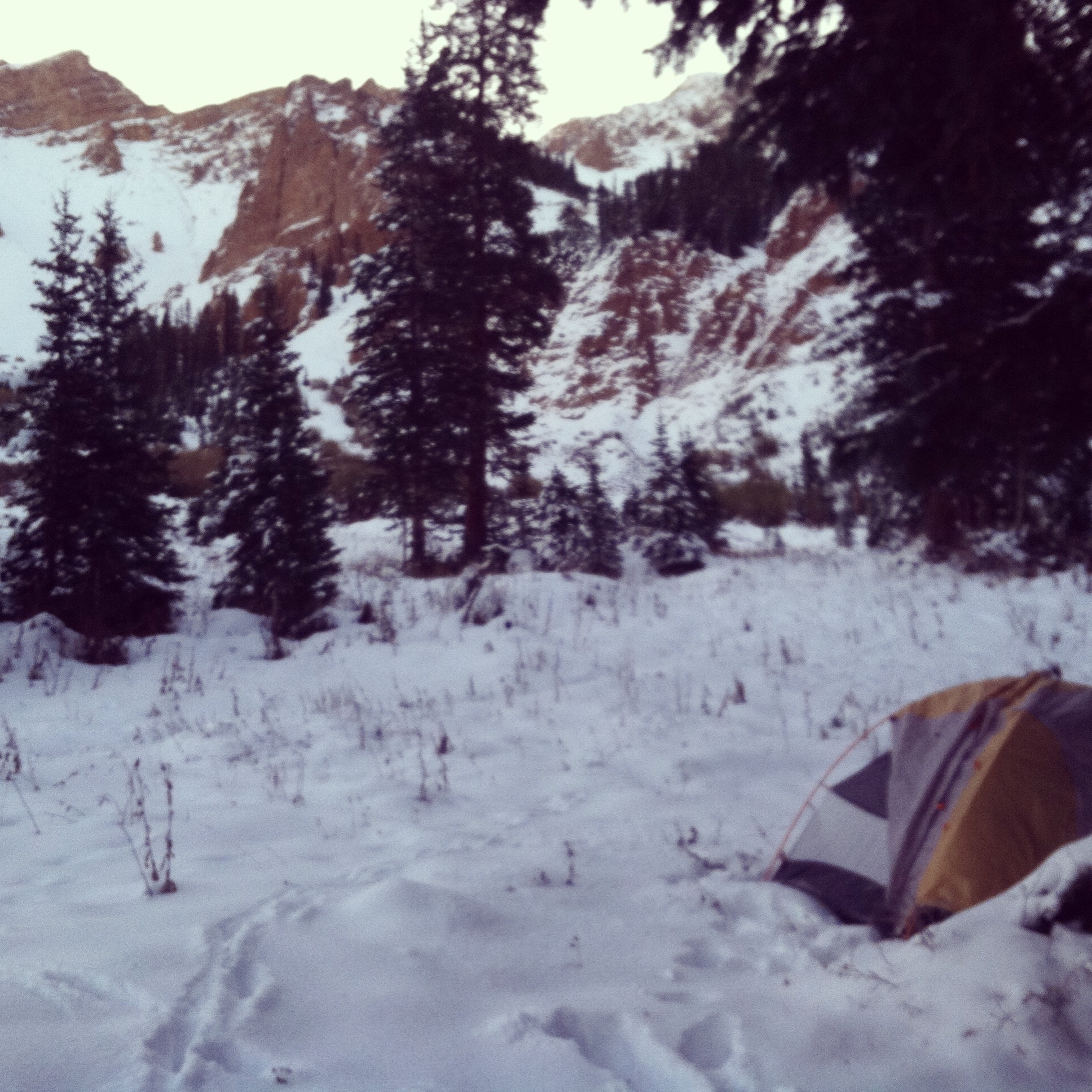
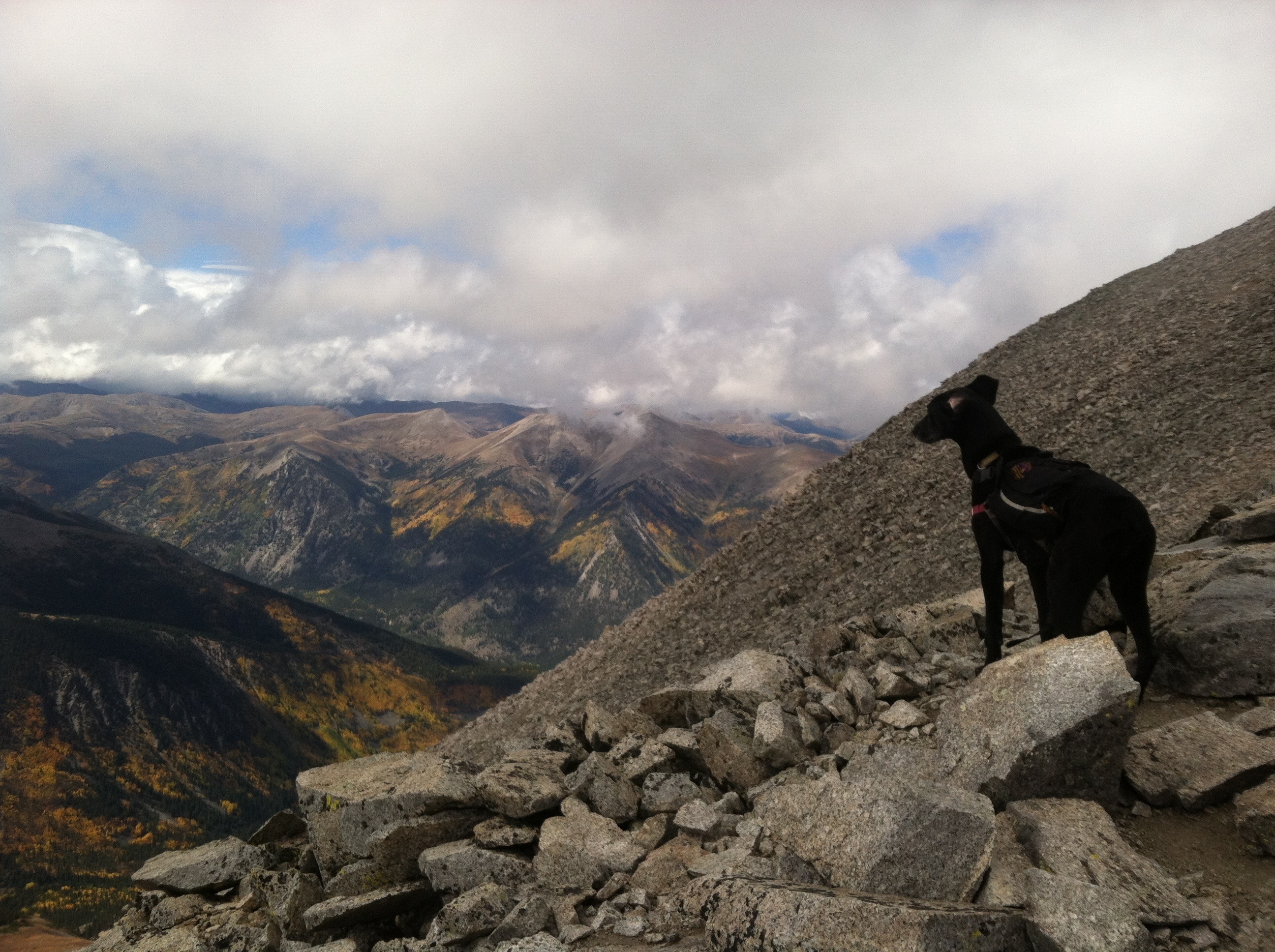
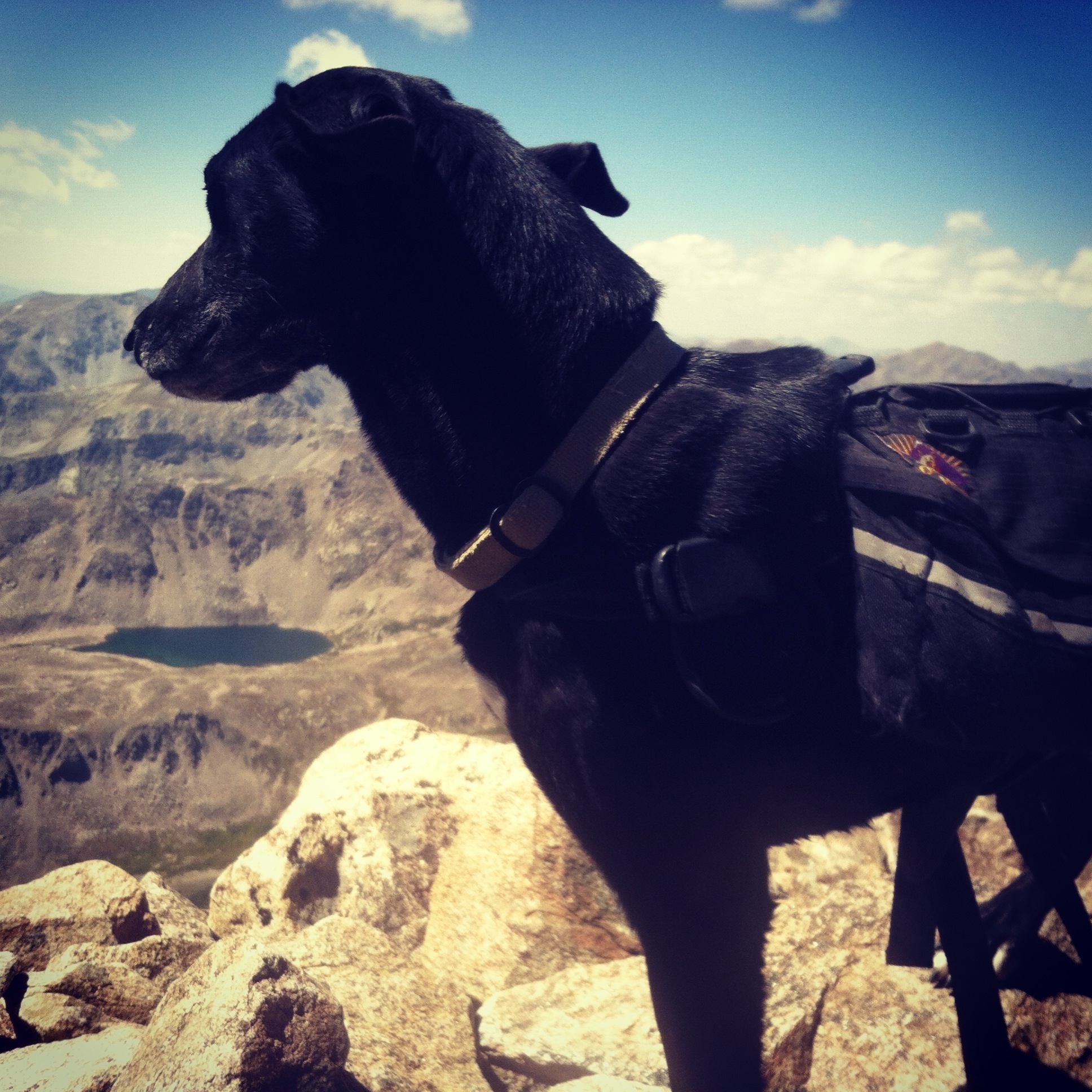
Day five: I had to skip a training run because I was too tired. I made banana bread for the weekend intensive backcountry training and I couldn’t even lick my fingers (yeah, I mix things with my hands. so what). Things were a little rough because of those two things. But, overall it wasn’t too bad. By the end of the day, I was eating plain rice because I couldn’t stomach the spices or the beans anymore. Interesting, making the banana bread was a project in health…I adjusted the recipe to make it gluten free and cut nearly all of the sugar out because I was worried I wouldn’t be able to stomach it.

After the cleanse: so I had two full days of backcountry training right after, I brought a bunch of healthy food with me. The interesting thing was, though, that I felt like I should still be eating kitchari. As much as I thought I’d make a big breakfast feast on Saturday morning, I made plain oatmeal and added peanut butter but nothing else. I actually made some kitchari after the weekend was over. Even weirder than wanting to eat kitchari even when I don’t have to is, I feel like I’ve made some progress psychologically about the way that I eat and think about food. I don’t think of myself as someone that emotionally eats but I realize that to a certain extent I do. When I’m tired after a long day of training or teaching, I daydream about the things I’m going to make to eat. Now, I’m planning ahead better and having things already made. I’m making slightly better choices in terms of nourishing my body than what just sounds good. It was a great look into why I do things, and why I think about food the way that I do.

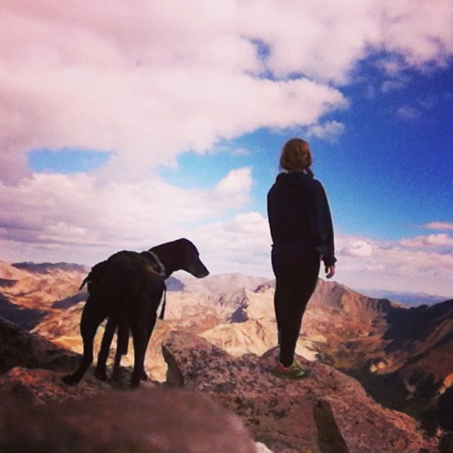
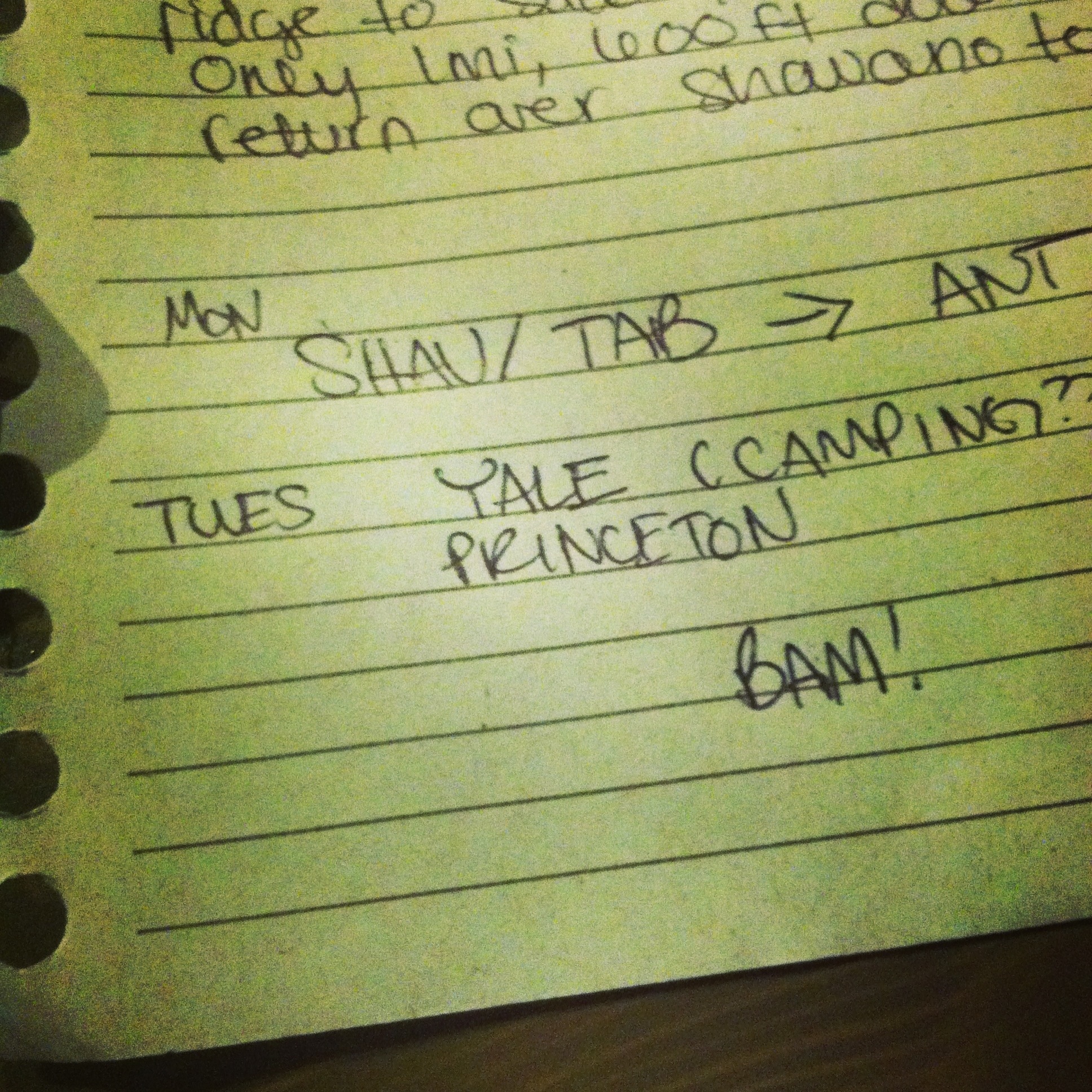
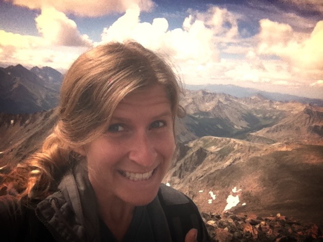
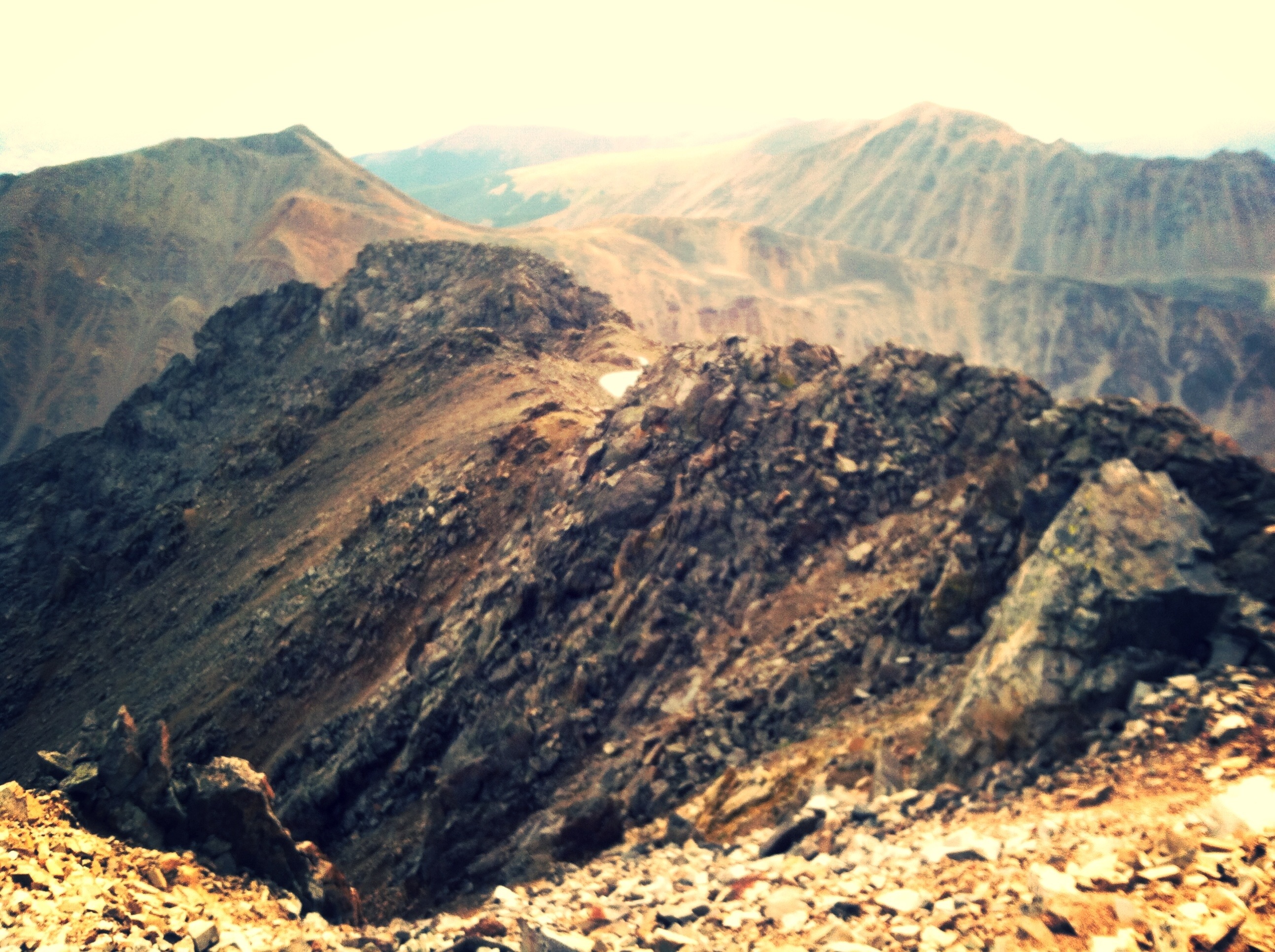
Up next: what is the NEXT ADVENTURE?! It’s a big one, I’m telling you. The biggest of all time.

Capitol Peak (and I discovered I will risk my life)

As you know, Capitol was planned to be the piece de la resistance, the 28th summit over 14,000ft of my 28th year, and we were to summit on the morning of my birthday. It is occasionally referred to as the most technically difficult 14er in Colorado, and it certainly makes the top 5 for most dangerous and most deadly due to its long ridge ascent that is sometimes class 4, very exposed, includes challenging route finding, and, of course, the crossing of the famous “knife edge” ridge.

Capitol Peak (14,130ft) 17miles, 5300ft gain

thar she is, so far in the distance, to the left

thar she is, so far in the distance, to the left

Dan and I at the TH

Dan and I at the TH

We had the game plan of hiking in to the lake (5.5miles from the TH) on Thursday so we could be ascending to the ridge early in the day on Friday, giving us the best possible chance to summit. We left later than we had planned, and then there was the snow. Oh, did I forget to mention? It’s been snowing ALL WEEK in the Elk Range and there is now FEET of snow. So in order to set up before nightfall, and because we assumed the temperatures would be even lower near the lake, we made camp a mile or so out from the lake in a relatively flat area beneath some trees.

This was taken not very far into the hike, as you can tell because we're not dragging ourselves through snow yet

This was taken not very far into the hike, as you can tell because we’re not dragging ourselves through snow yet

I crawled immediately into my sleeping bag, hoping to get warm, because as darkness fell shit was getting cold. To no avail. I did my best to eat my frozen peanut butter and jelly sandwich and drink some water because I knew I needed to, but it’s hard when you’re cold. That might be the biggest struggle, is that you don’t want to eat or drink. Dan brought me a bottle of boiling hot water to put in my sleeping bag with me and that was a real game changer. Not to imply that I slept more than about 45min total over the course of that horrible night. This was my first experience in winter camping. Don’t let the horribleness of the situation fool you, now I’m hooked on winter camping. It was 15 degrees that night.

This was taken on my birthday morning.  It's what it looks like to camp in January.  But it was October.

This was taken on my birthday morning. It’s what it looks like to camp in January. But it was October.

Waking up in the morning, you have to surrender your sleeping bag and put your shoes back on, that have frozen completely solid. You know that when you get moving, there’s a better chance of being warm again, but that seems very far in the future. Dan said, “Happy Birthday, Sarah.” Yep.

During a river crossing, I slipped off the snow covered log I was on and ended up directly in the river. We also refilled water bottles here, and let me tell you that ice cold mountain river water is the freshest water I’ve ever tasted. Up until just before the lake we were fortunate enough to be following a trail that a man with two horses and a dog had made (I suppose he was an actual cowboy), but his trail disappeared and we were left to break trail through knee deep snow on our own. Breaking trail is so much work. At the lake, you turn and head up the ascent to the saddle that will bring you to the ridge.

Here's the ridge.  We'd be hiking up to the saddle on the left just out of the picture.  The right is Capitol Peak.

Here’s the ridge. We’d be hiking up to the saddle on the left just out of the picture. The right is Capitol Peak.

This part was arduous. I imagine when it’s not covered by feet of snow, the trail switchbacks because it’s so steep. You do a lot of sliding back down, and some parts I couldn’t even bring myself back up to standing and ended up crawling to a less slippery place. My feet were freezing but my torso was burning up and sweating. It’s that weird feeling like you’re warm again, but that’s a very tenuous moment. Dan and I sat on the saddle for a few minutes, eating frozen clif bars and speculating about the upcoming ridge.

Up until this moment, we had been thinking that the ridge looked rocky, like the snow had mostly blown off of it. We could see now that most of the ridge was covered in several feet of snow, including terrifying cornices that obscured the actual location of the ridge itself. Heading out, Dan tested traversing through a cornice and it was successful. Each success doesn’t really make you less afraid, I think. But it does make you more likely to go on to the next dangerous decision and choose to keep going. There was a bit of steep scree scrambling that was unsettling as it was mired with ice, then some technical climbing. Dan waiting for me at the top of this bit and once I stepped onto the rock above and he turned to take a step forward, the cornice beside us, one foot away, broke off suddenly and avalanched down the side of the mountain. I think that moment was the hardest my heart has ever beaten. [I’m unsure if it’s acceptable to use avalanche as a verb…I’ll look into that in the future]

We kept going.

This was the steep scree bit followed by the technical bit.

This was the steep scree bit followed by the technical bit.

Before each increasingly dangerous obstacle, Dan would turn around and say “you okay?” and I’d say “I’m okay if you’re okay” and we’d trudge on. There was another technical bit that made it apparently exactly what class 4 is-it’s complete vertical climbing with very obvious ledges and handholds, kind of like 5-.2. Another interesting section as most of the good foot ledges were covered in ice and snow. The best part of this bit was, directly underneath it is a slide into a gully that would likely result in 100’s of feet. Do you remember the first time I climbed, and I was fascinated that each time you make a move and take a risk, it feels very much like you’re risking your life, but you’re really not because someone at the other end of the rope will catch you. In this moment, the risk was very much your life, and you don’t think you’ll make a mistake but you don’t know. This was a pivotal moment, I realized I will without flinching risk my life to touch the sky. Before you judge me for that, is it so much better to waste it?

As we began the traverse around K2, the snow got increasingly deeper and it seemed we were not only casually walking into the complete unknown (wtf is under 3-4ft of snow? we don’t have any idea what we’re stepping on) but also putting ourselves right in the middle of what could later be a big old snow slide. After a decent amount of this waist deep trail breaking, we stopped and looked at each other. We agreed it was time to go back. The truth was, we had long since passed any idea of “safety” and although successfully crossing various obstacles made us believe it was okay to attempt increasingly harder ones, the second half of the ridge promised to be much more terrifying, much more technical, more exposed, etc and when we reached those obstacles it was going to become more and more likely that we really wouldn’t be able to cross them at all. The danger we could see, too, was that even if we kept going, made it past the knife edge and other terrifying ice and snow covered feats, by the time we got back we might not be able to cross snowy traverse we were standing in without a snow slide that would certainly be fatal, due to the perfect sunshine that would’ve beaten on it for hours.

It just gets deeper from here.

It just gets deeper from here.

I knew when I chose the most epic of peaks that there was a risk of not making the summit on my birthday. Even before the early-season snow. I knew I would be bummed if we didn’t make it. But, attempting that ridge in January conditions was the most epic thing I’ve tried. At the point where we decided to turn around, I was not upset at all. I knew I’d get my 28th summit. Last year on my birthday, I went shopping at the second hand store, got ice cream for Lu and I, and had dinner with my girlfriend at the time (and she was late). This could not have been a more perfect way to cap off a year of doing epic shit, of blazing, of adventuring.

28 fourteeners did not actually seem possible when I considered the idea. But, I’m not the type to let such little things stop me. I didn’t finish today, but I will. And it will be epic.

Side note: coming back across the ridge and downclimbing the technical sections might have been even more terrifying. We drank my summit beer on the hike out.

27 (all systems go)

I headed to Buena Vista on Monday with certainty that this time, the Sawatch Range was going to get wrapped up. With just Antero and Princeton on the docket, what could go wrong? Well, the weather was forecasted to be terrible. But I wasn’t overstretching myself this time, I planned Monday and Tuesday for this trip so there was basically 98% chance that I’d make both summits.

Planned (and actual): Mt Antero (14,269) 16mi, 5200ft gain and Mt Princeton (14,197) 14mi, 5400ft gain

Antero.  I took this the next day from Princeton.

Antero. I took this the next day from Princeton.

As I mentioned before, Mt Antero is a part of the “highest network of ATV trails in the country” (congratulations, whoever thought wilderness was a good place for that) so you hike up the ATV road pretty much the whole way (and btw, whoever is in charge of trail building, I will learn how to build trails just to build a real trial up Antero; it is insane that nobody’s done it). And it’s just mileage and gain. Mileage and gain. There was some rain on the way in, but not by any means the worst thing that’s ever happened. Because of all the water, though, the rivers were wildly flooded. The first river crossing is so wide that it spread out the extra water and I could still cross at the designated crossing. The second crossing, however, was well above the rocks to cross it. I ended up taking off my shoes and pants to wade across. It was one of the coldest moments of my life (spoiler alert-things get much colder next week). It was maybe 40 degrees and I wasn’t up high yet, I wasn’t about to spend the rest of the mileage in wet pants.

Needs no caption.

Needs no caption.

The rest of the way up was pretty uneventful. When you finally reach the top of the road, you’ve got maybe less than two miles left climbing up the talus field to the summit. It was actually partly sunny for this part.

On the way up the talus field

On the way up the talus field

Arriving on the summit, the view was epic and the clouds, with all the crazy wind, felt like they were on some kind of turbodrive. You know how people build forts on the summits for protection? Someone had built one like a throne looking out to the west. Lu and I stayed there about ten minutes, snacking on trail mix (you know, Whole Foods apparently discontinued my favorite trail mix!? Even more reason to finally make my own. Some day.)

At first, it was cloudy and windy on the summit

At first, it was cloudy and windy on the summit

then, it looked more like this.  Taken from my THRONE atop Mt. Antero while I snacked gloriously on trail mix.

then, it looked more like this. Taken from my THRONE atop Mt. Antero while I snacked gloriously on trail mix.

Then, suddenly, the temperature dropped about ten degrees and the wind picked up. I packed up the trail mix and Lu and I ran off the summit as fast as we could. We made it back to the road, where a nearby smaller peak offered marginal protection, before the storm rolled in. It got dark and wild fast, the wind picked up so much I could lean most of my body weight into it and it took an incredible amount of energy to continue. The precip was what I like to call RAILS. Rain/hail/snow. It was hard and sharp but wet and frozen all at the same time. Things were pretty iffy until we got back to treeline, but honestly the experience (though miserable) made me wonder why I worry so much about storms.

Back below treeline, the precip mostly stopped and the wind was broken by the environment. I saw a herd of mountain goats (picture turned out AWFUL even though they were SO CLOSE) then the sun actually came out eventually for the last bit. I passed a guy on an ATV headed in and he stopped to ask me if I’d been caught in the storm and if I’d seen any mountain goats. He confirmed that he’d seen the same herd the day before, then shared with me that he’s an archer and has a permit for hunting mountain goats. Insert horror/crying here. Hunting mountain goats. Is a thing. Have I mentioned lately how I sometimes question humanity?

Tuesday was serving up Mt. Princeton and I woke up in good spirits, ready to rock. For what I’m pretty sure is the very first time, I was on the trail early enough to see the sunrise.

FINALLY I get to see a sunrise.

FINALLY I get to see a sunrise.

Princeton is another sob that has no trail of its own until you hike up an insane ATV/Jeep road for miles and miles and miles. (again, who do I talk to about this? I will build the damn trail myself.) Not surprisingly, no traffic on this mountain either. I eventually saw a car pass me with an older couple in it that stopped, got out, and got back in and drove back. They were the only people I’d see for the whole day.

and after the sunrise.  still awfully nice.

and after the sunrise. still awfully nice.

So you finally get on a trail for the last couple miles and it’s all talus from there. I mean miles, and miles, and miles of talus. When you finally see Princeton for the first time, it looks so big and so very, very far away.

so. far. from here.

so. far. from here.


And the thing about talus is, it takes so long to pick through it that it doesn’t feel like you get any closer. This was the theme of the trip. It’s taking forever and the summit is not getting any closer. The weather was turning slowly but surely as I headed up, but after the two storms I’ve been in in the last week or so, I’m honestly not that worried. Unless there’s lightning. The final ascent was a real practice in triumph of the human spirit. Definitely one where I thought I’d rather be doing anything else but this. Just slogging and dragging and misery all the way up. Didn’t spend long up on the summit, the view was…lacking.

check that view!  of...clouds.

check that view! of…clouds.

The talus field on the way down and out didn’t go any faster. It was maybe even slower. Needless to say, I wasn’t in high spirits anymore at this point. However, the trail mix I had with me had peanut butter cups in it. So I had that going for me, which was nice. Making it out of the talus field though….now that was an epic moment. Maybe even better than summiting? Although if I hadn’t summited I wouldn’t have felt so good right then. The whole way down the road I daydreamed about attempting Nolan’s. (if you’re curious…http://www.mattmahoney.net/nolans14/)

On Wednesday, Mark and I were scheduled to go back for the 2 Mosquito Range summits that we had missed back in like May (Lincoln, due to dangerous icy ridge and Democrat due to a cut on Luna’s foot), and back Sherman while were out there. Sherman is the most depressing 14,000ft mountain I’ve ever been on. The trail is an old mining road, the mountain itself is unappealing, and there are no good surrounding views either.

the one and only picture we took on #25, Mt. Sherman

the one and only picture we took on #25, Mt. Sherman

Lincoln and Democrat, however, offered epic views and a little bit of fun.

Summit of Democrat.  I ran up it, collapsed on that rock until mark got up there, and posed like a badass for this picture.

Summit of Democrat. I ran up it, collapsed on that rock until mark got up there, and posed like a badass for this picture.


I'm totally up there.  That's the summit of Mt. lincoln

I’m totally up there. That’s the summit of Mt. lincoln

It had been a long day with the driving, Mt Sherman, more driving, and two more peaks to bag, but we were still keeping it together. There was much discussion of 80’s movies, which made the elevation gain pass faster than anything ever. There were a lot of people out, including a couple different groups of stoners (again, hiking fourteeners is what stoners do in Colorado?! Amazing. I only played the sims back when I smoked pot.) Summiting Democrat felt especially good since it was NUMBER 27.

TWENTY SEVEN 14,000+ft SUMMITS IN ONE YEAR

TWENTY SEVEN 14,000+ft SUMMITS IN ONE YEAR

20141007-095907.jpg

In anticipation of my birthday next week, and my 28th peak in my 28th year, without further adieu here is the list:

Quandary
Pike’s Peak
Gray’s Peak
Torrey’s Peak
Mt. Evans
Mt. Bierstadt
Mt. of the Holy Cross
La Plata Peak
Mt. Massive
Mt. Elbert
Mt. Oxford
Mt. Belford
Missouri
Huron Peak
Mt. Harvard
Mt. Columbia
Mt. Yale
Mt. Princeton
Mt. Antero
Shavano
Tabegauche
Long’s Peak
Mt. Sherman
Mt. Lincoln
Mt. Democrat
Mt. Cameron
Mt. Bross

#28: CAPITOL PEAK, coming up next week

Collegiates pt ? (progress is progress)

The morning after where we left off, I had just summited Shavano and Tabegauche, and attempted (but failed at) Antero. On the docket today is Yale and Princeton, but I woke up feeling a little beat.

Planned: Mt. Yale (14,196) 9.5mi, 4300ft gain and Mt. Princeton (14,197) 13.25mi and 5400ft gain
Total planned: 22.75mi and 9700ft gain
Actual: Mt Yale 9.5mi and 4300ft gain

I started out actually pretty damn early, so I felt great about that. I wasn’t feeling great in general, however, and the first couple miles were a bit tainted by the idea of rushing this ascent in order to make it to Mt Princeton, ascend, descend, and make it all the way back to Denver in time to teach an 8:30p class. The rushing was much more strenuous than the elevation gain.

Then I had a brilliant epiphany. What if I didn’t do Princeton today? I struggled pretty hard with this decision. I’m already behind on mountains and at this point I had everything scheduled. I considered all of my options in terms of rescheduling. I did my best to justify skipping Princeton. But, ultimately I didn’t want to do it and once I made the decision to summit Yale then go home I felt a big burden being lifted. Part of this process is surpassing what I thought to be my limits, but part of it is understanding why and if I really want to do things.

The rest of Yale went smoothly, I passed several groups and was the first on the summit, then even had it to myself for a while. It was an absolutely gorgeous summit. I made a fast but not rushed descent, stopping to chat with a bunch of people on the way down. There was a girl that asked to take a picture with Lu as if she was her and her boyfriend’s dog…that was weird.

me and my Luna bug, feeling the bigness of summiting Yale.

me and my Luna bug, feeling the bigness of summiting Yale.

On my way home from Buena Vista I spent a long time thinking about my schedule between now and my birthday, to see how I could adjust to add Princeton and Antero. Tomorrow was supposed to be an all day training ride for the planned 82mi ride to Long’s, Long’s ascent, and ride back to Denver that was schedule for next Monday Tuesday. What I realized is, if I wanted to get all the peaks in before my birthday without subbing any classes I’d have to do Long’s tomorrow so there’s time to go back to BV for Antero and Princeton next week.

Wednesday morning I did not want to set an alarm, so I woke up around 8:30 and hung out making breakfast and drinking coffee. I got lost on the way to Long’s after mixing up some highway numbers and ended up starting out from the TH a bit after 11:30. And yeah, there were storms forecasted.

I did not take this.  But I accidentally deleted my picture from this viewpoint of Long's, on the long way in.  I'll go to the right, around the back, and pop up through that notch you can see about 1/3 from the left to climb to the summit.

I did not take this. But I accidentally deleted my picture from this viewpoint of Long’s, on the long way in. I’ll go to the right, around the back, and pop up through that notch you can see about 1/3 from the left to climb to the summit.

I burned in pretty hard and fast, but stopped to talk to a nice old man right before the trail splits toward the lake and the boulderfield. He was headed in to fish until the weather turned, and was highly disturbed that I was starting a summit ascent so late in the day. I tried to explain to him that I know what I’m doing, but he was unconvinced, and asked me if I’ve been on a fourteener before. 🙂

It’s a good long ways to get to the technical part. Even crossing the boulderfield takes ages, winding about then up a talus field to the keyhole that looks much shorter than it actually is. Once you cross through the keyhole to the other side of the mountain, you’re rewarded with epic views and it’s all class 3 from here. The route’s well marked so it moves pretty fast. Long’s Peak is technically a part of Rocky Mountain National Park, and dogs aren’t allowed so I left Lu home for this one so it was nice to enjoy the scrambling without having to keep track of her. I met some clearly very high gentlemen headed down the very steep and technical gully, and I was amazed that Colorado stoners are so motivated as to climb such long and technically difficult routes (14 miles with a good amount of class 3 technical that is mildly dangerous but also takes a pretty long time). The last two guys I saw claimed to be the last heading down from the summit, which would make me alone on the route for quite a while. They estimated 30 minutes to get through “the narrows” then another 40-60 on the final ascent. I was thinking that when I got to the top of the gully I wouldn’t be too far off from the summit, so the rational part of my brain worried slightly about the impending storms…the rest of my brain felt a little too excited.

from the keyhole

from the keyhole

Turns out, the two guys that gave me the time estimates (who appeared to be competent climbers themselves) were either very slow themselves or had highly underestimated me and given me an inflated time to the summit, because 30 minutes later I was standing on it, confused as all get out, trying to figure out how I ended up there so quickly, and if it was possible that I was not, in fact, on the summit. But I found the metal seal and the capsule containing the register so I knew I was there. I took some pictures then headed down, hoping to make it through the technical before getting rained on.

coloradical

coloradical

I made it to the top of the gully where I’d be downclimbing before traversing that class 3 west ridge again when it started hailing. And I wasn’t scared. Maybe I should’ve been. I moved as quickly as possible coming down the now hail-covered slippery rock, feeling like a kid out playing in the rain.

I didn't take this either, and I don't know these people.  But I stupidly deleted almost all of my pictures of the sweet route I was on to clear up memory for a later trip, you'll hear about soon

I didn’t take this either, and I don’t know these people. But I stupidly deleted almost all of my pictures of the sweet route I was on to clear up memory for a later trip, you’ll hear about soon

After getting back to the keyhole and crossing over to the east side again the storm was gone and I ran the whole way back fast and dirty, hoping to have time to catch some dinner in Boulder before I had to be at the search and rescue meeting. (victory). 14.5mi, 5100ft gain

Collegiates: pt 4 (finish the Sawatch range?)

I had this trip planned since Columbia, hoping to finish the Sawatch Range in one fell two day swoop.

Planned for Monday: 28 miles, 11,000ft gain, 3 summits: Shavano 14,229, Tabegauche 14,155, and Antero 14,269

Actual: 22 miles, 9,000ft gain, 2 summits: Shavana, Tabegauche and one attempted (DNS): Antero

BAM!

BAM!

I raced home after class on Sunday night, picked up Luna and my bags, stopped at Jimmy John’s, and headed for Salida. Rolled into the TH parking lot at 11p, I figured no one would notice or care if I slept in the car in the parking lot so I did. Set my alarm for 6a.

My alarm never went off, it turned out my phone got too cold overnight and killed the battery. I didn’t bother to turn on the car to see what time it was, but I’d guess based on the sun that it was 8am ish. There were two other groups of two on the trail to Shavano, as I passed them both told me they were going to head to Tabegauche. As of yet, I still did not know how to pronounce Tabegauche, and neither did anybody else. Oh the other downside to my phone dying overnight was that I had no camera…another reminder that I NEED TO GET MY CAMERA FIXED so I don’t rely on my phone.

So I was sick last week, just a regular cold but I realized while I was trying to burn up Shavano greasy-fast that I was not back to 100% (what doesn’t kill you…makes you weaker?). There’s a pretty fair amount of my snot all over that mountain, and I was hacking up my lungs pretty good. I made decent time but not good by any means; taking way longer than I thought.

I summited Shavano and headed down the North ridge as quickly as I could negotiating the rocks. The Tabegauche ascent was mildly grueling in my already tired state. I passed two more guys on their way back to Shavano, they commented on my “speedy” pace (it’s all relative).

No filter.  Looking back on Shav and Tab on my way to Antero

No filter. Looking back on Shav and Tab on my way to Antero

Tabegauche was my 20th fourteener this year. When Abby and I were sitting in the Snug in January talking about 20 14ers, the idea seemed possible but far fetched. When I just recently amended it to 28 14ers, the idea seemed ridiculous. Standing on that 20th summit, I could see how far I’ve come. How much I’ve changed. The mountains don’t change you. YOU change you. Every choice you make, every step, every breath. A year ago on Gray’s and Torrey’s I was dying and we watched a woman run right up Gray’s. I never thought that would be me. You don’t learn new things, these experiences strip away the things that aren’t really you.

Back on the summit of Shavano, I caught up to the boys and we met up with an older gentleman hiking by himself. He told us the two groups of two had both turned back. AND he told us that it’s pronounced TAB-A-WASH. The descent was normal, but the whole thing took longer than I expected, as I mentioned. We got to the Antero TH at 2pm-looking at a 16 mile round trip. If you do the math, I’d have to avg almost 3mph to make it down before nightfall. I started up Antero as fast as I could (let’s be honest, my pace was barely even a “wog” at this point). Antero’s fun because instead of building a trail, you use ATV/Jeep roads. So you’ve got the lingering exhaust and smell of gasoline to deal with, not to mention the actual silly little trucks getting in your way all the time.

The good news was, I charged my phone (PICTURES!) and the views were gorgeous.

I'm pretty sure we're looking at Princeton through a grove of fall color Aspens.  And that little speck is Lu

I’m pretty sure we’re looking at Princeton through a grove of fall color Aspens. And that little speck is Lu

The bad news was, it started raining off and on. The other bad news was, I was exhausted. The even worse news was, I was keeping track of my time and mileage and I was not making 3mph average, in fact by mile 4 or so I’d downgrade “wog” to “staggering”. I was fully determined to make this summit when I started out, even if I had to come back in the dark. Now, I kept thinking mountain lions. Bears. Things were getting a little twisted up in my head. Exhaustion really messes with you. To be honest, I actually considered calling it but saying that I did it. Which is not a thought I’d ever have in my right mind. Nobody cares about 28 14ers other than me, and if I was sane I would’ve known that a fake summit would be worthless to me. But I absolutely wasn’t sane. Right after mile 5, I turned a corner and realized that what I had been thinking was the summit was a false, and absolutely horror is the best way to describe my reaction. I looked at the time, and realized that it was going to be a long time to the summit, and if I carried on I’d be making pretty much the entire 8 mile descent in the dark. The forest at night is now my number one fear, apparently [but guess what’s still not-I actually RESCUED a SPIDER from drowning in my tub while it was filling for my bath]. I turned back.

Seriously.  This is a real picture.

Seriously. This is a real picture.

The descent was long and painful, my knees were already a little crushed from the day I’d had. I did get to dream of picking up some snacks and a Coke in BV before I headed to the TH for tomorrow. I don’t like the decision that I made giving up on Antero, it makes me feel weak, inadequate; but, being recently sick and obviously feeling the effects from it, I don’t remember the last time I’ve been so exhausted. I know it was a good call, and I can’t change it so I don’t regret it.

From our way back down.  Miraculously, the weather cleared up (jerky weather, only looking ominous when I'm still headed to the summit).  This mountain (that I have yet to look up on a map, Antero is behind us) actually was rainbow colored.  And that light magic just happened on its own.

From our way back down. Miraculously, the weather cleared up (jerky weather, only looking ominous when I’m still headed to the summit). This mountain (that I have yet to look up on a map, Antero is behind us) actually was rainbow colored. And that light magic just happened on its own.

Coming up: tomorrow holds in store Yale & Princeton, but there are two problems: I’m exhausted, and I really have to push if I’m going to make 21 miles before I have to be back in Denver to teach my Tuesday night class.

beast mode/couch mode (the space between?)

On Friday Mark and I ran the Flatirons and the first time up the first Flatiron I was dragging. I have this brilliant theory that I’m good after 4 miles…and in this instance we were tackling badass elevation gain very early, so I could use that as an excuse. But man, do you ever have that run that you just want to stop with every single step. Ugh! Then right at the end it turned, and I beast moded the rest of it. BM is how we do epic shit right? I pride myself on my ability to beast mode elevation gain, in races but more importantly the real world. I get “can’t stop/won’t stop” in my head and just blast right past where I think my edge is. It seems to have environmental factors (and by that I mean COMPETITION), but there has to be some way to trigger it just any time. Right!?

Flatirons are so sleepy you can't even see them

Flatirons are so sleepy you can’t even see them

I was thinking during this run how much I’ve changed. Even from that moment in a spin class I was teaching when I thought about BASELINE (is your baseline sitting on the couch watching Netflix?) and I was already training then. Powering through the mountains has changed everything. Beast mode is now rocking 1000ft gain/mile. But there’s always so far to go.

I scheduled the rest of the 28 fourteeners. It’s pretty surreal; last January 20 seemed like an insane number. A month ago 28 seemed improbable. I’ll finish the remaining Collegiates (and the rest of the Sawatch range) next week. Up next is the Long’s trip. I’ll be riding the 82 miles to the trailhead, running the 14 miles to and from the summit of Long’s Peak, and riding home to Denver, hopefully in less than 20 hours (bagging one peak the long way). Last week of September Mark and I are going back for the Mosquito Range peaks we missed the last time around (due to ice and Luna’s cut foot). Then, it’s Capitol Peak with the boys. Colorado’s most technically difficult fourteener, and the #5 most dangerous (happy birthday to me!).

braking for pull ups on the way to Evergreen on my new bike, Blow

braking for pull ups on the way to Evergreen on my new bike, Blow

Monday was the Columbia ascent 11.5 miles and 4200ft gain
Tuesday off
Wednesday 42 miles on the bike
Thursday 6mi city
Friday 5mi 3000ft gain at the Flatirons
Saturday 15mi bike
Sunday 14mi Mesa Trail (NO BEARS!!!)

Collegiates pt 3 (no sleep till Columbia)

If you’ve been following along, on my quest to summit 28 mountains over 14,000 feet this year before my 28th birthday, I just bagged 5 summits last week in two days-my biggest trip yet. However, it was planned for 6, but in the last moments I had to make a decision that was disappointing but necessary-to call it before traversing the ridge to Columbia.

This meant I’d have to go back for Columbia. And I’ll tell you now, it was not a good day.

On Sunday I realized I hadn’t made any Labor Day plans, and my schedule the way that it is allows me to head to the mountains after my Monday morning class if I can be back for my Tuesday late night class-that’s *almost* two full days! So very last minute, I started copying down TH and route directions loosely for my next 6 peaks that would finish off the Sawatch Range- Columbia, Princeton, Yale, Antero, Shavano, and Tabagauche. Obviously, I wasn’t going to make those 6 in this trip (especially since there are no link ups, and the roads to several of these TH are sketchy at best, which means my mileage walking in to get these peaks is going to increase exponentially). I was hoping for 3: Columbia and Princeton on Monday, Yale on Tuesday.

yeah I only took pictures from the summit on this trip.  So.  I'll just spread them out through the post.

yeah I only took pictures from the summit on this trip. So. I’ll just spread them out through the post.

I started out at the Cottonwood Creek TH to hike in 3-4 miles towards Harvard before I veered East for Columbia. This was actually quite pleasant. The weather was excellent-warm and sunny, with no forecasted storms whatsoever. The trail wasn’t even crowded. We hit treeline and approached a gully. This is where my “loose” copying down of route directions failed me. When I’m taking a standard route, I copy down turns that must be made in case there are no signs, and anything that’s out of the ordinary (“the route is hard to find through the talus, go SE”, or “turn at the rabbit eared rock formation”). There wasn’t really much of note in the Columbia directions, but I had a recollection of reading about the route being hard to find “but follow the cairns” and something about a gully. So as the trail headed up a gully, I followed right along with it. It got lost but was vaguely findable the whole time. The problem was, it was EPICALLY steep and all loose dirt and tiny scree. About 20 minutes in, I was bear walking on hands and feet. We were in a west-facing gully, and the wind was just whipping us around. It literally knocked me over several times. The ascent up this gully was slow going, and I’ve never felt like I made so little progress in so much time. I was frustrated, even angry. If this route were alive, I wanted to kill it. It was a different type of the “I’d rather die than keep going” mentality. I wasn’t really tired, just miserable. I kept thinking “this isn’t that big of a deal, calm down!” but I couldn’t calm down.

We reached the summit ridge, FINALLY, and not only was the wind relentless, but we had a ways to go before the summit. At one point I actually leaned into the wind and it held me up. It was approaching 50mph. The only people we’d seen so far were beginning their descent, so we had the summit to ourselves. Now this was a satisfying summit to make, and we spent about 5 minutes feeling awesome about it and taking excellent pictures (I know, I should be a professional photographer). We also shared a banana-my last bit of food (I’ve been packing light. Damn. Fail.)

yep.  Really good photographer.  Plus, the wind blown hair makes me look like a professional model.  So.

yep. Really good photographer. Plus, the wind blown hair makes me look like a professional model. So.

We headed to the descent fast and dirty, I was so ready to be off this mountain. I didn’t bring wind protection either, expecting excellent weather, so my head was starting to hurt pretty good from the cold wind in my ears. I also left my sunglasses on the summit. Angry face. We passed our fellow descenders as we ran down as quick as we could-and we did find that we missed the turn out of the gully to take the shoulder up to the ridge, which was much better (but still slippery and steep in places). Coming down the lowest segment of the gully, where the routes meet, I attempted the snowless version of glissading (aka, sliding down the steep parts on my butt) but that’s problematic because of the rocks. What did seem to work was kind of skating on my feet, which my hips just above the ground, and my hands steering on the rocks. This was pretty great (although most of the time you’re halfway between being in control and falling) until I landed my right hand on one of those giant, evil thistle flower plants. And now I’ve got 20 splinters, that are going to have to wait until later because I’m not carrying a first aid kit. Angry face. [update: there were four that I couldn’t get out. FOUR. ugh.]

At least I was about below treeline. So when I’m in the mountains I always think about wanting to be a better person. How to make more out of my life. What unnecessary junk I can and need to get rid of. This ascent, being particularly miserable, gave me more to think about than usual. I’ve been tragically hooked on Netflix lately, letting House run while I’m cleaning, while I’m trying to go to sleep, and while I’m eating. Awful, and I just keep letting it go on! What a time suck. I’ve also let my yoga practice sort of go by the wayside, not practicing at home and skipping class some days. Finally, I realized that sugar is causing my digestive problems. It’s time to make drastic changes.

more summit pictures!  Lu's glamour shots.  Here she is, looking regal

more summit pictures! Lu’s glamour shots. Here she is, looking regal

I made the decision on the way down to call it for the day, find a campsite, and do one summit in the morning. I was really looking forward to making dinner, reading, and doing some yoga. I had to drive to the next trailhead, so I headed toward Princeton. No camping at the Princeton parking lot, so I headed up the Mt. Princeton road (supposed to be 4wd only but it’s not THAT bad). After driving several white-knuckle miles up, I gave up and turned around. I hoped there would be better luck near Antero, so I drove further in towards Baldwin Gulch. On the way in, I saw lots of “no camping” signs. Hmmm, promising. Arrived at the Antero TH surrounded by ATV trails and parking, and no camping. More “no camping” signs. I drove in further with very little hope, then gave up and turned around. I could’ve gone back to Harvard but couldn’t stomach adding another 45 minutes of driving into the national forest. Frustrated and disappointed, I turned tail and headed home.

This trip gave me a lot to think about. “Learning” doesn’t come from outside of you; as you pick your way through experiences, you expose who you are and what you’re about.

Coming up: Sarah gets serious about putting miles in the saddle for the Long’s trip (164 bicycle miles, 14 running up Long’s, 15,000ft gain in 24 hours), and the Collegiates fire is burning a hole in something.

Collegiates: two days of peakbagging, part deux

Day two was planned to be three summits: Huron Peak (14,003), Harvard (14,420), and Columbia (14,073). Plus much more mileage (26) and similar gain and loss (10,000ish ft).

Day 2 total elevation gain and loss: 8,900ft

Day 2 total mileage: 25miles

I didn’t wake up until just after 7a (that’s right, if you read day one you’ll know I slept almost 12 hours!) so I didn’t get an early start today either. Good things, though, it was raining all morning and I got up just in time to start Huron in the sunshine. Even the hike in to the Huron Peak TH was absolutely gorgeous, which would be a trend on this mountain.

That's not Huron Peak, it's to the left and hard to see from the hike in.

That’s not Huron Peak, it’s to the left and hard to see from the hike in.

Luna was running in every direction, as if she wasn’t tired at all. At the TH there’s a brief bit through the forest, then the switchbacks start right away and they’re arduous but somehow don’t go on as long as you’re expecting, or don’t seem as miserable as they should. I didn’t see my first human until treeline; he was on his way down and gave me the dl on the rest of the hike. As promised, at treeline the trail opens up to cross this breathtaking meadow with spectacular views of the surrounding peaks. It is one of the world’s greatest tragedies that I did not take a picture on the way up (you’ll see why when you see the way down picture). We crossed the meadow then head into more switchbacks up the shoulder toward the ridge. This is where I started feeling the gain from yesterday in my legs, but more so in stiffness and not burning. I came across a group of 6 on the final ascent, they were all experienced hikers and we discussed the impending weather which seemed to be going from bad to worse. 2 of them made the summit and the rest turned around as I was heading up. I was only 400 feet off or so so we went for it. And my god, it was maybe my favorite summit so far.

You can see in the video how quickly the weather can change. By the time I get all the way around the 360, you can see the storms getting so much closer. The snow got much worse as we headed down, and we ran down as fast as we could. By the time we arrived in the meadow again, it looked like this:

The ghosts of mountains in the distance cast a much different feel on the meadow

The ghosts of mountains in the distance cast a much different feel on the meadow

Once below treeline, it poured on us. Which really wasn’t bad and it wasn’t even that cold. The storm broke as we hit the TH, and the sun came out. Which was good news for the Harvard/Columbia attempt. I was feeling great. Huron was a straightforward 11 miles and 3,800ft gain, and it served to warm me up rather than tire me out (so I thought). Lu and I both had peanut butter sandwiches, and we headed for Harvard.

The first few miles in through the forest were sunny and nice, but the weather was turning slowly but surely. When we broke out of the trees and into the valley there were extraordinary views on all sides. It’s really miraculous how enormous 13ers and 14ers are, before you climb them. They humble us, certainly.

As I say in the video, I was feeling pretty rough at this point. The mileage and slow elevation gain was emptying me out just as slowly but surely as the weather was going bad. By the time we hit the talus field to start the last big ascent, I was pretty miserable. This is fun for me because the cool thing about 14ers is that you have that moment where you think “I’d rather die than keep going” but I haven’t felt that in a while, maybe since that miserable Pike’s ascent. So to find that again felt good in a weird way. Peakbagging and endurance hiking isn’t about conquering, as much as it may seem to be. You become a part of the mountain and you leave yourself on it. You always have a choice-to stay or go back. And if you stay, not just to stay but to dig deeper and go harder than you believe you can. That’s why I planned this trip, because the elevation gain was much more than I’ve ever done in the amount of time I was setting out to do it. Since I believed it to be past my limits, I wanted to prove that I could break out of them.

There was a mountain goat on Harvard, we actually came pretty close to it but it was around the corner and I didn’t want to spook it.

Can you find Waldo?  Me neither.  I know he's in the frame!  We're not even that far away.

Can you find Waldo? Me neither. I know he’s in the frame! We’re not even that far away.

The weather was turning quickly and the Harvard ascent took longer than I had imagined it would; which meant we were losing daylight too.

Right next to the summit, where I did not take even a single picture :(

Right next to the summit, where I did not take even a single picture 😦

We reached the summit and did another one of those quick taps and immediately started to descend, thinking we’ve got to bust ass if we’re going to make the Columbia summit before dark. It didn’t feel like a celebration or an accomplishment, making it to Harvard, which it should’ve! And I really wasn’t as familiar as I should’ve been about the route to and down from Columbia…I was a little nervous about doing it in the dark. We would descend from the Harvard summit to a saddle, then hike up an unnamed 13er, descend to another saddle, and head up to Columbia. That traverse would’ve been 2.54 miles, and was slotted to take over an hour due to difficulty and route-finding, and once on the ridge there’d be no escape if the weather turned.

On the saddle before the unnamed 13er, I stopped, stared at it, and just shook my head. It was 7:20pm.

In 2 parts because my phone wouldn’t upload it in onehttps://www.youtube.com/watch?v=G570j-QO4EU

Here’s what’s really funny about the whole thing: the ridge I show you in the video, and the peak in the distance that I believe to be Columbia? It’s not! I told you, I wasn’t familiar with the route…whoops! Turns out, when I show you the creepy death eater fog coming over that ridge to the Northeast? That’s the ridge to Columbia. It doesn’t change the fact that I had to call it due to weather and losing light. We started descending immediately and were in the talus field (read: broken rock field) when the fog made it into the valley. Visibility wasn’t even 20 feet anymore, and then it started pouring (that was a close call!). Darkness fell completely while we were in the forest, we hiked back a little over 3 miles (felt like so much more) in total darkness. I had a light, but that doesn’t go very far. Darkness in the forest feels very heavy and thick. I sang devotional songs in Sanskrit to ward off the bears (and to help keep me from losing my mind-I’ve never been afraid of the dark, I didn’t know this would scare me so completely). I also discussed the impending fuel down at length with Luna.

Unfortunately for both of us, everything in Buena Vista closes at 8 or 9pm. Coming out of the Collegiate wilderness, it was a little after 9. We found one gas station still open until 10 (“summer hours” for one more week!) and got a coke. Coming back from BV you go through a variety of small towns (Fairplay, South Park, eventually Conifer) that also have no amenities “late” at night, so there was no fuel down to speak of. We didn’t roll back into Denver until 11:30p and by that point I just wanted to hit bed so hard.

5 summits over 14,000ft. 19,700ft gain and loss. 42 miles. I can be good with that.

Coming up: no sleep till we summit Columbia and finish the Collegiates. Sarah gives up sugar, and starts training for the Long’s Peak ride

Collegiates: two days of peakbagging, day 1

Day one served up three mountains: Belford (14,197), Oxford (14,153), and Missouri (14,067).

Total elevation gain and loss: 10,800ft
Total mileage: 17.5miles

On this trip, I took fewer pictures but made a couple videos. LMK what you think of this format!

We got an early-ish start. Ultimately, I was up later than planned packing and writing route directions out and I didn’t want to start this on no sleep, so I set the alarm a little later than originally intended. Then we got stuck in the blasting traffic near Idaho Springs. Belford went off without a hitch. There were storms forecasted for noonish, about 60% chance I think, so I was watching the sky pretty fervently and it was going back and forth between sunny and ominous all morning. A group that summited right after I did had been planning the Belford/Oxford double and called it due to the foreboding weather in the distance. Not enough for me to give it up on a day like this though! Lu and I headed down from Belford to the Southeast, on a low saddle that would provide a lot of cover should the weather turn quickly. Otherwise, both of these mountains were relatively barren. It was so windy, but the weather was holding.

Lu on the summit of Belford, looking out over the Collegiate Wildnerness (like a boss)

Lu on the summit of Belford, looking out over the Collegiate Wildnerness (like a boss)

We nearly got blown off of Oxford, and headed back down immediately to cross the saddle and head for Elkhard Pass. We would be taking a south ridge off of Belford to head towards the pass and to Missouri. The whole thing was very straightforward, and when we reached the pass there was a faint trail up a shoulder towards Missouri. Assuming this was the standard route that I was headed for, we took it.

Doesn't look so bad just yet

Doesn’t look so bad just yet

It turned class 3 very quickly, but I was undeterred, thinking it was just misclassified and Luna was fine. Then, just as we were approaching the final ascent to the summit ridge, it turned very much class 4. I was having a good time navigating this and still in good spirits, but Lu was getting stuck a lot, to the point that helping her was getting dangerous, and the last pitch was going to be impossible for her. I really wanted to give it a go, and even though she was right at the bottom I didn’t want to risk anything by not being able to get to her if something happened. So we descended the crazy ridge to look for the real route up Missouri. We lost a lot of elevation, but found the route and it was much simpler. It really didn’t take very long to get up all the switchbacks. As we approached the summit ridge (from the other direction) the storm clouds were coming in hot and we ran to the summit, tapped it, and headed back down as quick as possible.

This is actually from the ridge next to the summit, which currently has a terrifying storm cloud right over it.  The rest of the ridge was surprisingly sunny, so I stopped to take this real quick

This is actually from the ridge next to the summit, which currently has a terrifying storm cloud right over it. The rest of the ridge was surprisingly sunny, so I stopped to take this real quick

It didn’t start raining until our last 4ish miles, which was pretty miraculous. By the time we set up camp near the Huron Peak trailhead, it had mostly stopped raining. I even got a fire started on damp wood, which I was pretty proud of. Realized I didn’t have a can opener and haven’t replaced my lost multi tool yet so we were SOL with the baked beans I brought. More PB&J. I read Zen Mind, Beginner’s Mind and fell right asleep around 7:30pm.

Up next: three more fourteeners and much more mileage is on my plate for day 2!

la plata (also updates-hitting it hard, and sarah starts using brackets all the time)

With another Wednesday almost all the way off, I elected to get up at 3:30a to do La Plata Peak (14,336ft, 9.25mi) before the storms rolled in at 1 (something like 90% chance…and they started as we were pulling out). The TH was hard to find, you park off the main road then walk in like a mile, but it’s not marked well plus it’s unusual to walk in on a road without the TH in site. Naturally, I drove into the forest on a very bad service dirt service road and wasted about an hour, looking for the TH and only finding a bunch of obscure signs and random, unmarked roads. By the time I rolled back out to the main road where the TH parking is, I was super frustrated. So frustrated that I was about ready to head home (whoa nelly, Sarah, calm your shit down). I parked and got out, just in time to meet up with a couple that were walking around in confusion as well. We walked in on the road together and found the TH and I departed from them pretty quickly, ready to burn up the mountain fast and dirty (with all that extra vigor for getting so annoyed about nothing). [fun fact: the couple had only eaten chocolate frosted donuts for breakfast-I abstained from telling them how well *that* works out]

Mama nature, you stop it with your damn epic views.  I'm so tired of hiking with gorgeous backdrops all the time! #nofilter

Mama nature, you stop it with your damn epic views. I’m so tired of hiking with gorgeous backdrops all the time! #nofilter

Once you get out of the forest, the views get amazing and you hit the brutal switchbacks that are the worst part of the route. I passed two decent-sized groups that were split up over the switchbacks. Several of the poor dears were carrying gallon jugs in one hand and a couple of the girls were wearing purses [wondering what happens to them? I’ll see them later]. They loved/hated Luna, exasperatedly commenting about how epic she is and WHY DOESN’T THE ELEVATION EFFECT HER?! Business as usual.

The switchbacks were over before we knew it, and we continued through the meadow eating PB&J without stopping. The ascent up the ridge was grueling and somewhat terrible because the whole time it looks like you have so much more to go. The first couple I saw descending told me that it’s not as far as it looks. I disregarded this information, thinking “oh. really. it looks fucking far.” Then it turned out, maybe 5 minutes later we hit the saddle and you could see there was only one last little bit of talus hopping to the summit. [Here’s an aside for you: when I suddenly got interested in mountaineering, I was mildly annoyed at the constant use of talus and scree in trip reports and route directions. I gleaned a basic understanding, that both were referring to broken rock bits. I assumed there were solid definitions of each, but it turns out NOT. They both refer to broken rock bits, or a formation made of broken rock bits. Neither is specific to size. Scree comes from skrioa, Norse for landslide. Talus comes from the same word in French, meaning slope or embankment. Now, you can refer to talus and scree with pride and look very cool. You’re welcome.]

Luna sizes up some rocks.  See?  How hard was that?  Just call it like it is.

Luna sizes up some rocks. See? How hard was that? Just call it like it is.

While scree-hopping (see what I did there?), we came across a whole group of teenage girls that I was initially annoyed by (SO. LOUD.) but that quickly spent 15 minutes petting and fawning over Lu. So I cut them some slack. Evidently, Colorado summer camps take field trips to hike fourteeners. I was pretty impressed with these girls, as there were plenty of grownups still heading up the switchbacks and crying about it.

Me giving you a thumbs up on the summit.  Because I'm cool like that.

Me giving you a thumbs up on the summit. Because I’m cool like that.

We took some time to hang out on the summit, but with my later-than planned start and what I assumed were impending storms, we headed back down pretty quickly. [MORE BRACKETS. There was a family of 3 on the summit eating Subway sandwiches…it was like 10am, so they must have purchased them the night before? This bothered me and I spent more time than I should’ve thinking about it]

The gorgeous Ellingwood Ridge, named for the first person who climbed it in the 20'sish.

The gorgeous Ellingwood Ridge, named for the first person who climbed it in the 20’sish.

On the way down the main ascent, we stopped to tell our fellow travelers that it’s not as far as it looks and they gave me skeptical looks. I ran into both groups of newbies, one about to tackle the ridge with fear in their eyes, and the others lunching in the meadow with resignation. Both stopped me to talk, and I tried to give them an accurate assessment of what was coming next, but it turned out they were uninterested in my guesstimates of time to the summit, or in my warnings of the coming storms. They wanted to talk about Lu, quel surprise.

because Lu is the shit, obv

because Lu is the shit, obv

The hike down was uneventful, which was good, because the storms didn’t hit until I was all the way to the car and on 24, headed back to Denver. And hit they did, hopefully everyone that was up there made it up/down safely. When everything was said and done, I was home by 3p! Definitely a successful trip.

Getting ready for collegiates, I put in a whole lot of time running:
Friday 4mi Matty Winters
Sunday 7mi city
Monday 8mi Mesa Trail (this is the infamous bear run)
Tuesday 7mi Dinosaur Ridge
Wednesday 4mi Matty Winters

Things got filthy dirt on dinosaur ridge

Things got filthy dirt on dinosaur ridge

I’ve shaped somewhat of a plan for the Collegiates: one day is Oxford/Belford/Missouri and the other will be Huron/Harvard/Columbia. I’m getting pumped, TWO WHOLE DAYS in the woods?! Shit’s about to get all kinds of rad.

Stay tuned for delicious raw energy ball recipe and updates on the Collegiates trip coming up fast!

xo